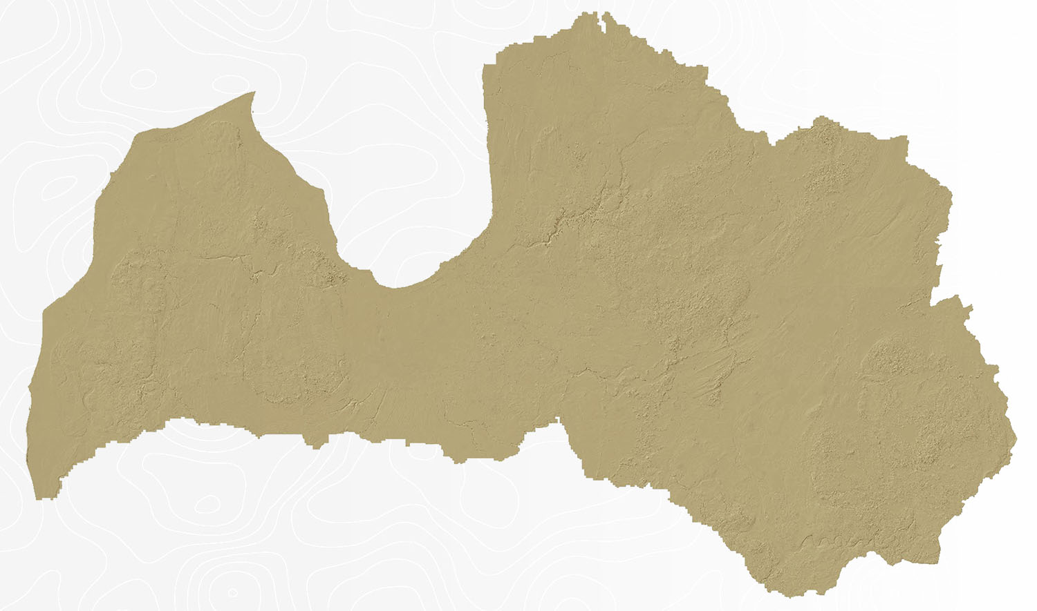
Basic data of the Digital Surface Model

The basic data for the digital altitude model is a set of classified airborne laser scanning points, each with known plane coordinates (X, Y) and altitude (Z). Model data is linked to the LKS-92 TM coordinate system and LAS-2000,5 for the Latvian standard altitude system. The basic data were obtained by aerial laser scanning method. The total density of points obtained shall be not less than 4 p / m² and the mean density of points characterizing the surface shall be not less than 1,5 p / m²
The data is available in A LAS data format.
The data are automatically classified at levels:
- ground surface;
- low vegetation;
- high vegetation;
- buildings.
Ground surface level is corrected manually.
Any individual or legal person intends the data for use.
The territorial coverage of the service covers the territories of Kurzeme, Zemgale and Latgale in the State of Latvia.
Information about laser scanning time of LAS data: here.
Download here: