Services
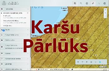
Since 2010, the Map Browser has been created in the LGIA, where the basic data prepared by the LGIA for the territory of Latvia can be viewed and it is possible to perform various activities using toolbars.
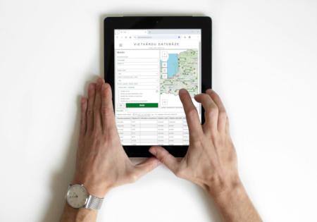
The database of place names maintains information on place names (geographical names or toponyms) and the corresponding geographical objects - both natural and man-made.

Latvian Geospatial Information Agency (LGIA) is the leading institution in the implementation of state policy in the field of geodesy, cartography and geospatial information.
The Ministry of Defence plans and monitors the obtaining, preparation and updating of the LGIA geodetic and cartographic basic data, as well as the execution of the geospatial information service providing in accordance with the annual state budget framework.