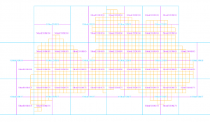
Grid

INSPIRE - The data of the geographical network system are harmonized with the INSPIRE implementing rules. Consequently, the data set of Latvia's geographical networks has a uniform form with other data created in accordance with the INSPIRE theme, covering the whole of Europe. Functions are represented as vector (shape) elements with cell name attributes.
INSPIRE dataset for geographic network systems: data are available for the following network sections: 100 m, 1 km, 10 km, 50 km and 100 km. ETRS_1989_LAEA coordinate system.